
Image courtesy of US Drought Monitor
Almost every day this month in the Raccoon Valley Radio-listening area has been above average daytime highs for this time of the year.
Weatherology Meteorologist Mandy Thalhuber says the average high for early June is 80 degrees, which all but two days in June have been above that. According to the National Weather Service, all this week has been upper 80s to mid 90s for daytime highs, which is predicted to continue through next week. Thalhuber tells Raccoon Valley Radio it is unusual for there to be this many days consistently hot for a long period of time in early June. She explains the reason for this long, sustaining heat wave in June is due to a weather pattern in the upper atmosphere.
“A big ridge of high pressure is just parked over the Central Plains and the Upper Midwest. We are just stuck with low pressure on both sides. It’s usually high pressure that moves things along into the lower pressure systems and we can’t go anywhere because of what we have going on with our, called the steering winds, which is our jet stream up above.”
Thalhuber says another concern is the lack of changes for precipitation, following a slight cold front, where temperatures remain hot, but a small window for access to moisture in the atmosphere may happen.
“We don’t have any access to moisture right now because a lot of our moisture comes from the Gulf of Mexico. So if we don’t have access to the moisture from the Gulf of Mexico, if we don’t have a weather system off to our south, or some sort of driving force bringing that up into the Central Plains, we don’t have any moisture.”
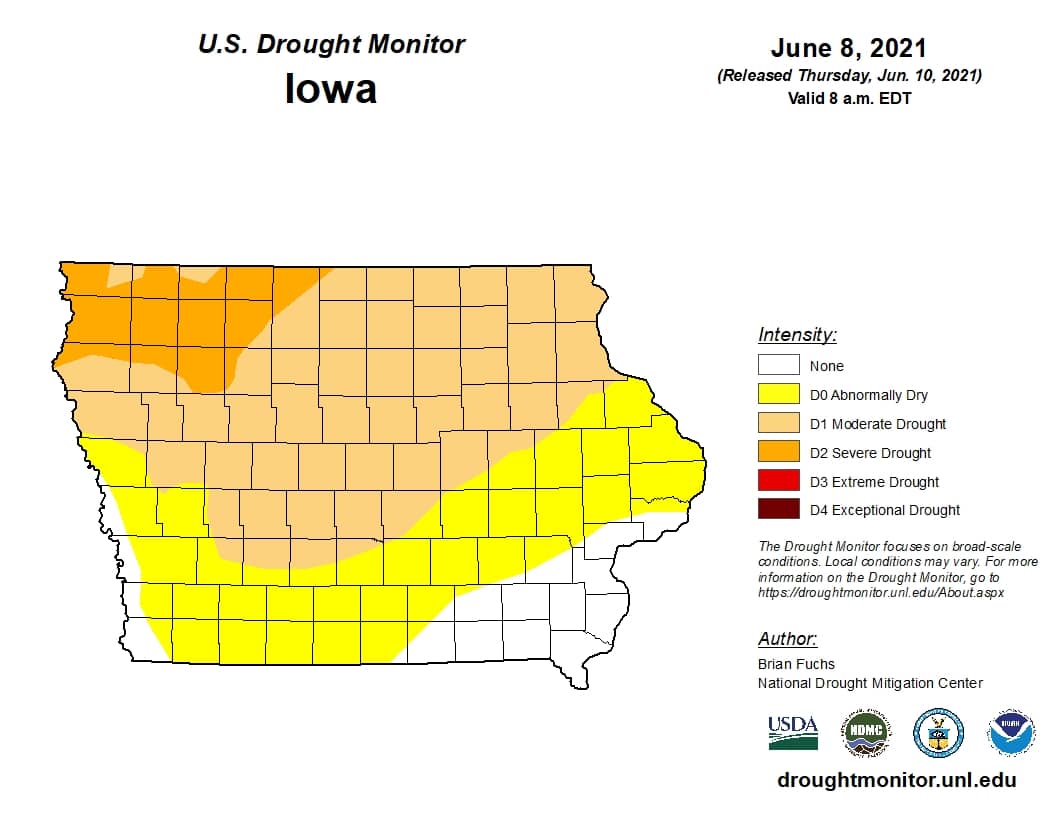
According to the current U.S. Drought Monitor, Greene, Dallas and Guthrie counties are now under a moderate drought. Prior to the changes for rainfall today and tomorrow, the National Weather Service reports the last time there was measurable rainfall for Guthrie Center was May 27th with 0.68 inches, and for Jefferson and Perry it was May 28th with 0.24 and 0.16 inches, respectively.