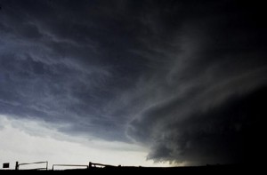
If there’s one thing you can count on during the summer, it’s that there’s almost always a chance for severe weather.
Dallas County Emergency Management Coordinator A.J. Seely says while we’re past the time frame that typically contains the majority of storms, central Iowa is by no means out of the woods when it comes to severe thunderstorms and tornadoes. Seely says that periods of extreme heat — like what occurred towards the middle of July — have a way of turning into periods of storms, particularly when the humidity is high. “I know there’s a lot of factors that go into the severe weather cycle, and how fronts approach and come through. Typically, I think we see the more humid hot air that we get, as long as there’s a front that has a lot of diversity or contrast between the humidity; that’s when we see more severe weather.”
Seely adds, this time of year there is a kind of light at the end of the severe weather tunnel, though the hazards are unchanged. “They’re basically the same as what we see in the spring, with the only difference being that they’re less-frequent. So we’ll still see a potential for hail, obviously lightning, and then there is always the tornado threat that’s out there. But fortunately we see that kind of diminishing after the peak of what we usually call ‘storm season,’ that April to June or July time frame.”
As a reminder, whenever a severe thunderstorm or tornado warning is issued for Dallas, Greene, or Guthrie counties, the Raccoon Valley Radio Severe Weather Action Team will take the air to keep listeners informed about the storm’s hazards. To hear more from Seely, listen to today and tomorrow’s Perry Fareway Let’s Talk Dallas County programs on air and at RaccoonValleyRadio.com.

